Delivering a High-Accuracy Digital Twin
This project required more than mapping an open courtyard. The client needed a precise as-built model to support future planning and design coordination. GTEC3D’s deliverables documented:
Exact distances and relationships between multiple buildings
Elevation shifts, grading patterns, and topographic changes
Hardscape and softscape boundaries
Utility access points and surface features
Accurate façade geometry for all surrounding structures
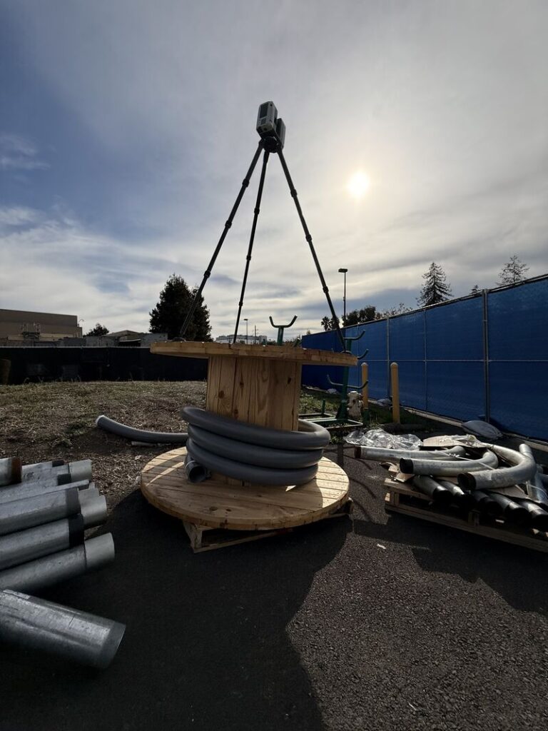
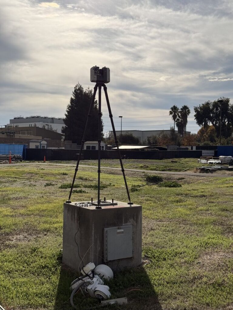
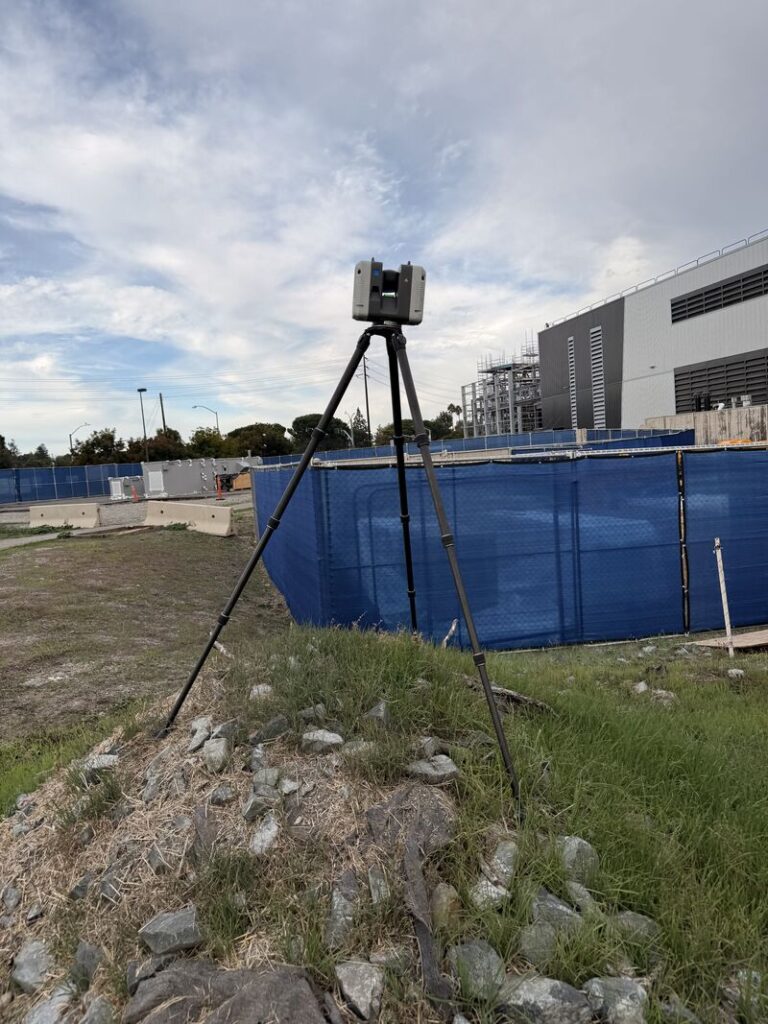
Using high-resolution terrestrial LiDAR, GTEC3D produced a fully registered digital twin that ties every structure and landscape element into a single, unified dataset. Architects and engineers can now pull topography, plan views, sections, and coordination drawings directly from the model—reducing site visits and eliminating guesswork.
Why Outdoor Laser Scanning Matters
Whether for campus planning, renovation, ADA route verification, landscape redesign, or overall site development, accurate reality capture is the foundation of successful design. High-quality 3D scanning minimizes unknowns, supports faster decision-making, and ensures that future plans align flawlessly with existing conditions.
Non-intrusive data capture with minimal impact on operations
High accuracy for planning and retrofitting spaces
Improved coordination across architecture, engineering, and construction teams
Digital twins for future design, facility management, and compliance