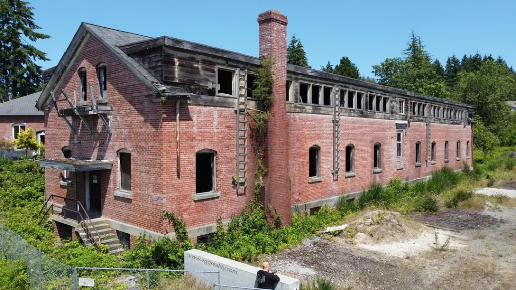
Code School Project, Bainbridge Island, WA.
This was an exceptionally fun project for me and a super interesting point in history for the United States in General. Here is a snipit from the site
In September 1939, the U.S. Navy relocated a secret radio listening post from Fort Stevens, Oregon, to Fort Ward on Bainbridge Island in Kitsap County, a few miles from Seattle in Puget Sound. The radio post was renamed “Station S” and began eavesdropping on Japanese messages in 1940. At the end of World War II, the station turned to the Cold War, intercepting messages from Russia and, later, North Korea. Station S closed down in December 1953.
Secret Listening Post
In May 1932, the U.S. Navy established a radio listening post at Fort Stevens, Oregon (near Astoria). But the station discovered reception issues in 1938, forcing a move. After a survey determined that Bainbridge Island had ideal reception, the Fort Stevens station relocated to the island in September 1939. It opened at Fort Ward (established 1900-1903) as the Communications Support Activities (COMSUPACT). Rhombic antennas were erected on the parade grounds. In 1940, the facility was renamed Station S, Naval Security Group Activities (NSGA) and eavesdropped on the Tokyo-to-San Francisco radio net, recording Japanese diplomatic messages sent in Japanese Morse code.
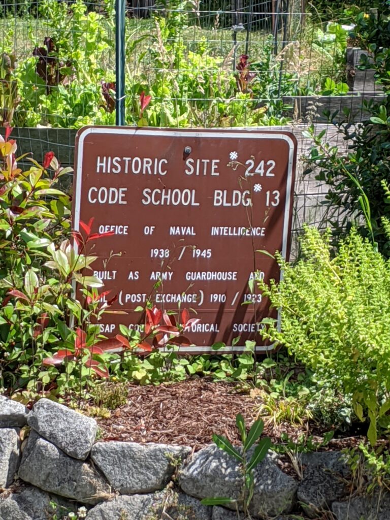
From the start, Station S would be a very secret operation, remaining hidden from local residents and the general public. Occupying a former army post, with the radio intelligence center housed in what had been the Post Exchange building, the station avoided public awareness. It helped that Fort Ward had ample vacant space, so no new construction, which might have drawn outside interest, was needed to open the intercept facility.
The Bainbridge listening post also had another significant intelligence activity, radio direction finding (RDF), for locating and tracking enemy ships. Using radio signals acquired by several listening stations, RDF could identify a ship’s location. To locate or identify a ship’s position required at least two RDF station reports, but the addition of a third report ensured more accurate locating. Bainbridge operated in the West Coast High Frequency Direction Net as the Net Control and Plotting Center, compiling its own and other RDF stations’ data to keep a log of Japanese ship locations. The data was then sent to West Coast naval commands and the Chief of Naval Operations in Washington, D.C.
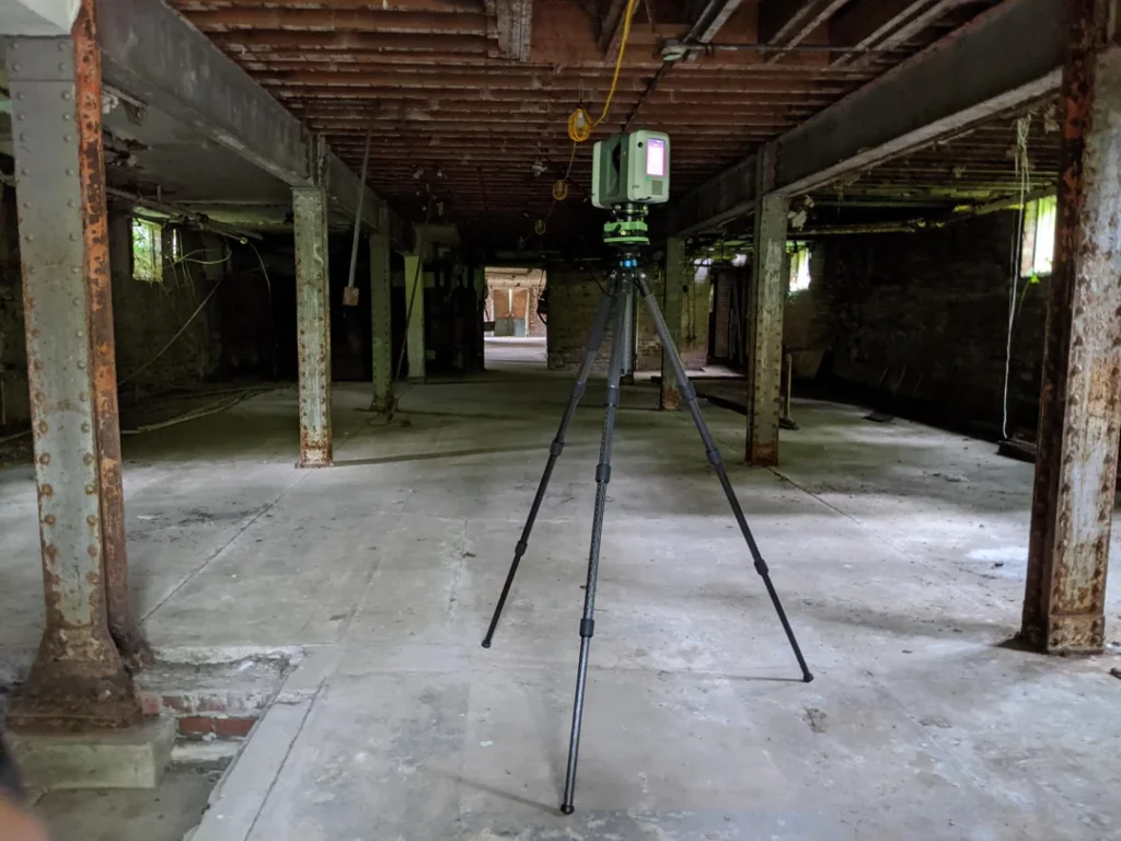
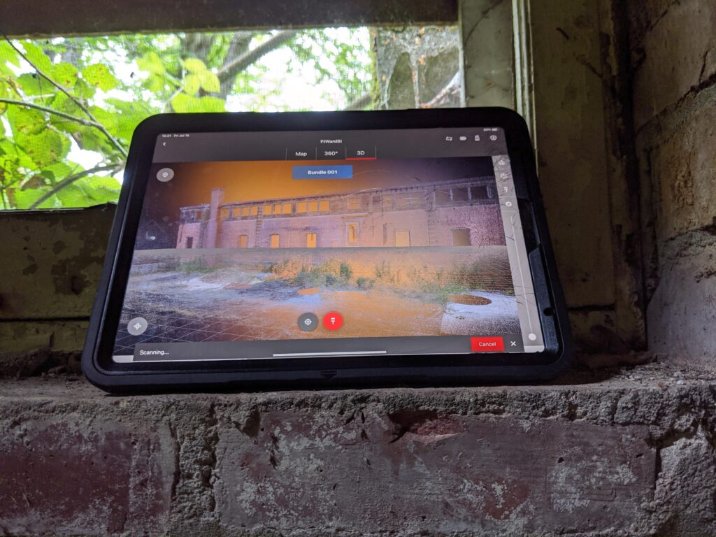
GTEC3D Using FIELD 360 with iPad Pro – Code 13 Building, Bainbridge Island