
GTEC3D Deploys DJI Matrice 400 to Enhance Site Logistics Planning
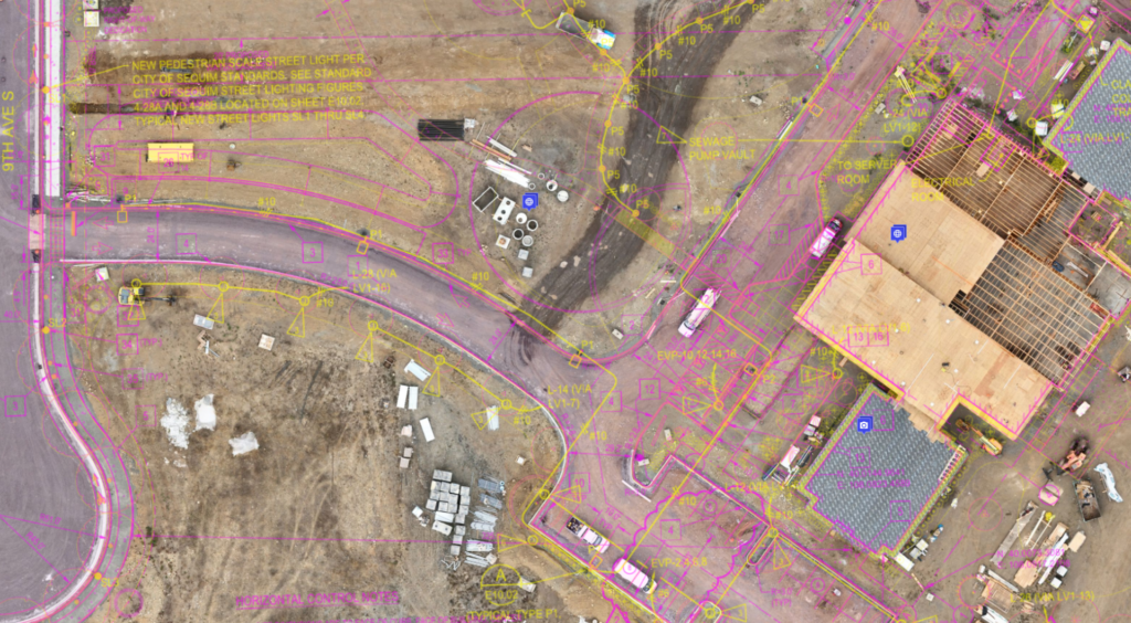
GTEC3D recently completed a drone-assisted site project in Seattle, utilizing advanced UAV technology to capture comprehensive data and imagery.
By leveraging advanced UAV technology—including the DJI Matrice 400 equipped with the DJI L3 LiDAR system and the DJI P1 camera—our team captured highly detailed imagery, precise spatial data, and high-resolution photos and videos. The combination of LiDAR and photogrammetry provided project stakeholders with a significantly clearer and more comprehensive understanding of existing site conditions. The Matrice 400’s reliable performance and robust sensor integration ensured consistent data quality, enabling accurate analysis and informed decision-making throughout the project. enabled us to:
Generate accurate mapping and 3D modeling for layout optimization
Improve situational awareness through comprehensive site visibility
Reduce time on the ground by gathering key data more efficiently
Enhance safety during operations in challenging or active environments
This project demonstrates GTEC3D’s commitment to integrating cutting-edge drone solutions that help clients plan smarter, work safer, and operate with greater confidence.
To learn more about our drone services or how aerial data can support your next project, contact our team today.