Navigating the Labyrinth: 3D Laser Scanning for Complex Wastewater Systems
Managing a complex wastewater facility often feels like navigating a “spaghetti” of interconnected pipes, valves, and aging infrastructure. For GTEC3D, the challenge isn’t just capturing these assets—it’s providing a precise digital foundation that eliminates guesswork for upgrades and maintenance.
Why Wastewater Systems Demand Precision
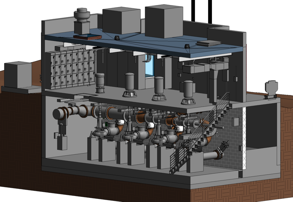
Wastewater treatment plants (WWTPs) are among the most congested mechanical environments. Traditional surveying often falls short due to:
- Complex Geometry: Dense piping networks and specialized equipment like heat exchangers.
- Safety Risks: Hazardous chemical storage and confined spaces like manholes.
- Operational Sensitivity: The need for data collection without disrupting critical 24/7 processes.
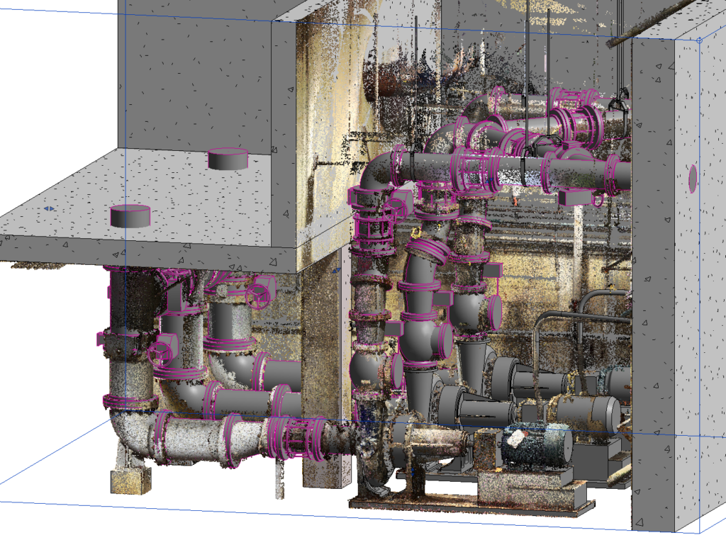
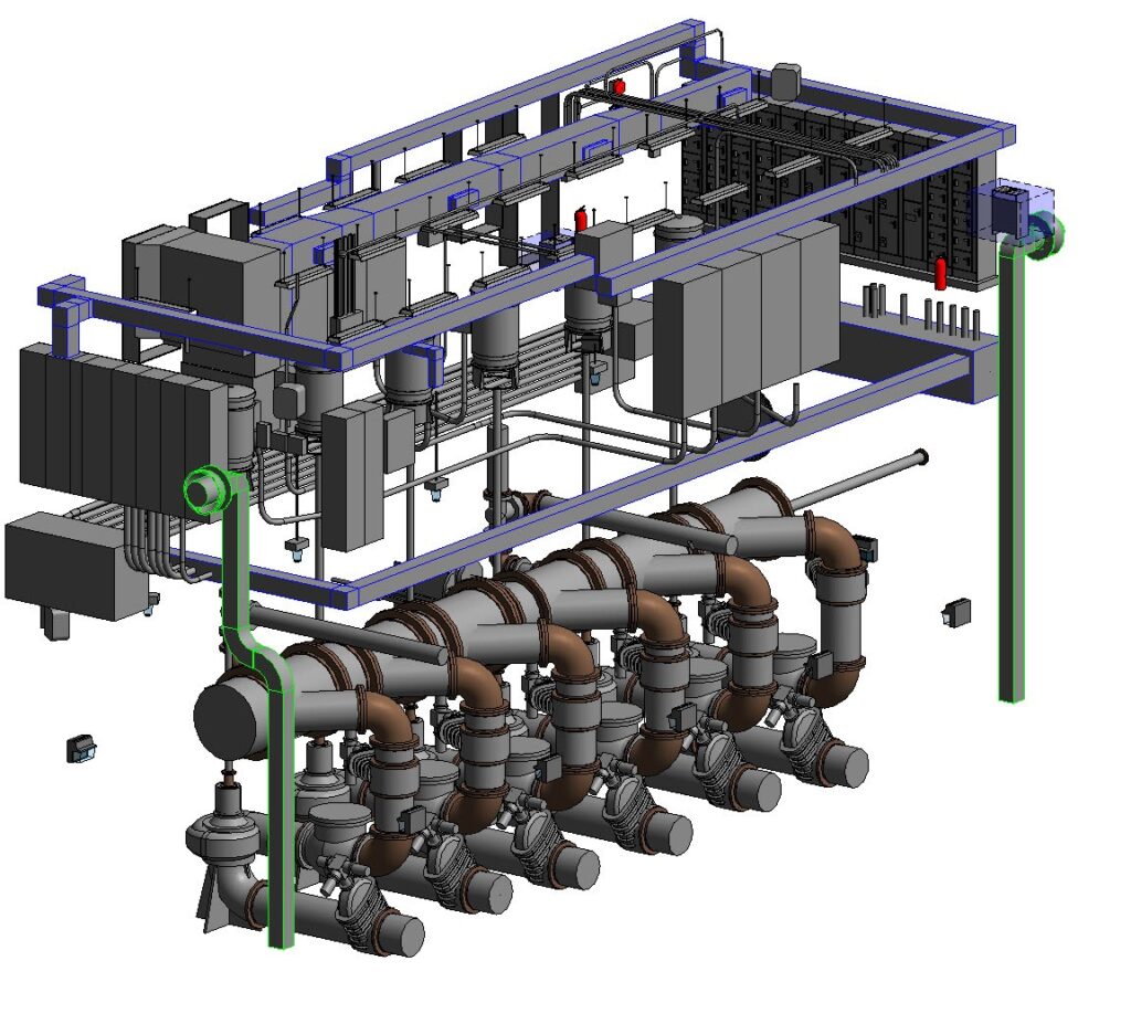
The GTEC3D Approach: Reality Capture in Action
GTEC3D utilizes a high-performance fleet, including the Leica RTC360 for agile, rapid capture and the for long-range precision.
- Comprehensive Field Capture: We document everything from massive foundations to tiny ½-inch diameter pipes.
- Millimeter-Level Accuracy: Our scans achieve millimetre-level precision, drastically reducing the risk of costly rework during retrofitting.
- Integrated Aerial & Terrestrial Data: By combining drone Photogrammetry/LiDAR with ground-based scanning, we create a seamless digital twin of the entire facility.