The Geometric Backbone: Why Laser Scanning is the Secret to Prefabrication Success
In the world of modern construction, “good enough” isn’t good enough anymore. As projects become more complex and timelines tighter, the industry is moving away from traditional tape-measure methods toward a “scan-first” philosophy.
At
GTEC3D, we see 3D laser scanning as the
geometric backbone of any successful project. But nowhere is this more critical than in
prefabrication. Here is why laser scanning has become an operational necessity for fabricators and how the “LOA Rule” ensures it all fits together.
Why Scan Before You Fabricate?
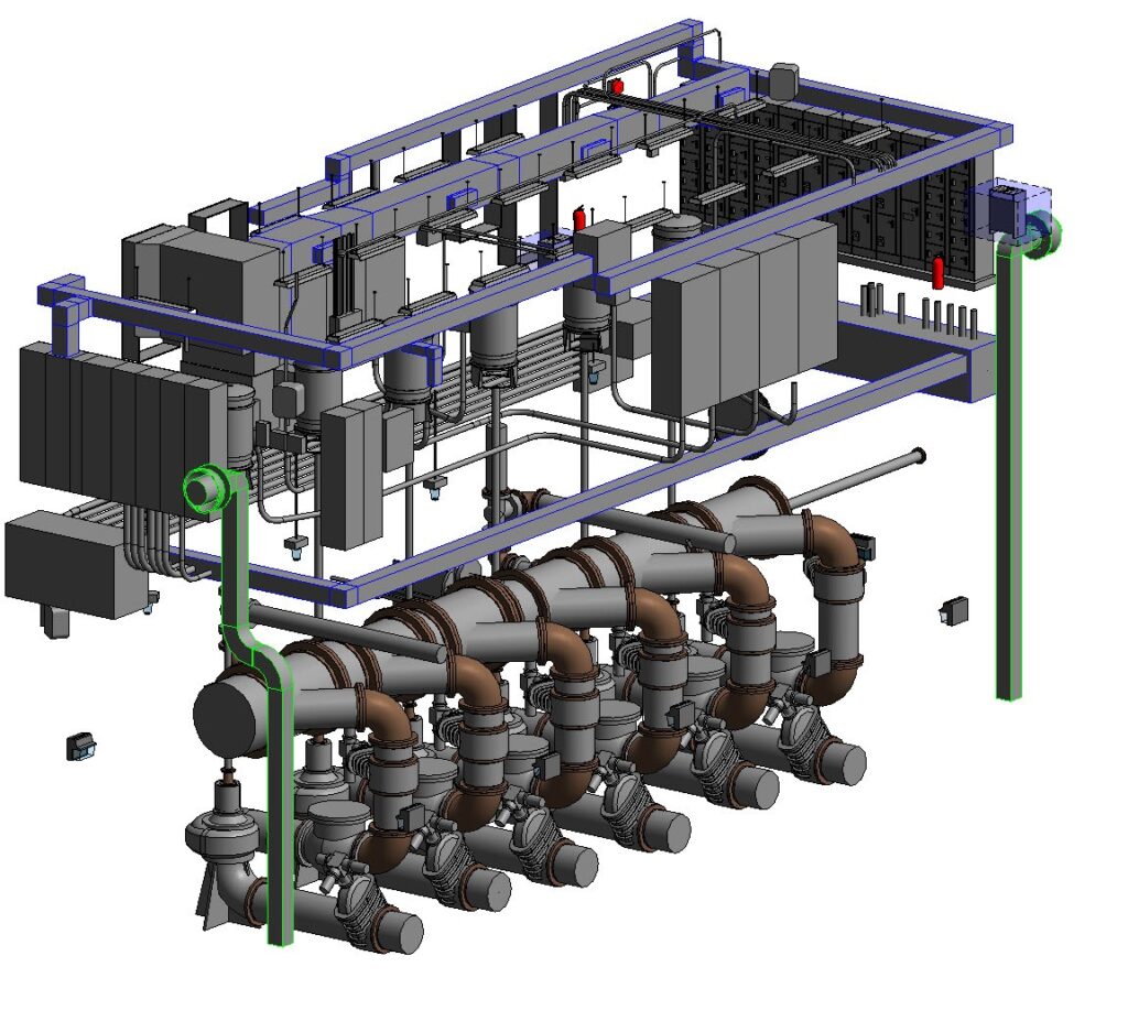
Prefabrication offers incredible speed and safety, but it relies on one thing: dimensional certainty. If a modular pipe rack or a mass timber beam arrives on-site and doesn’t fit the existing foundation by even half an inch, your “fast” project just hit an expensive brick wall.
Laser scanning eliminates this risk by:
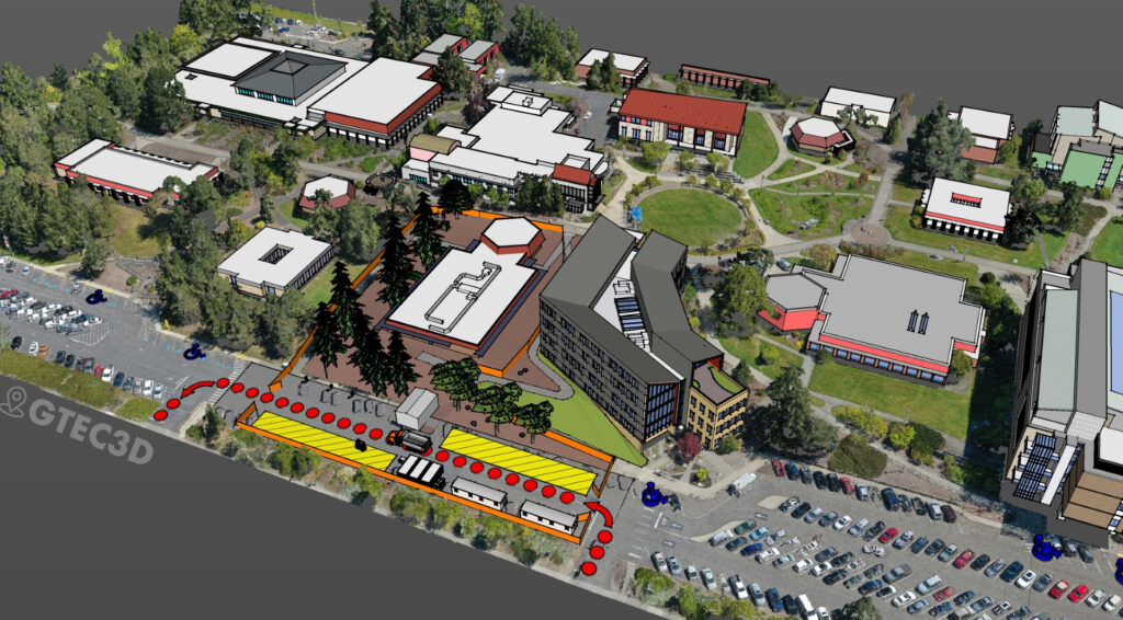
- Capturing Reality in Millimeters: We capture millions of data points per second to create a high-resolution point cloud. This represents the “ground truth” of your site.
- Virtual Fit-Ups: We can virtually “test” your prefabricated models against the scan data before a single piece of steel is cut. This identifies clashes early, reducing field rework by up to 60%.
- Eliminating Site Returns: Accurate as-built documentation means your team doesn’t have to keep returning to the site to double-check a single measurement.
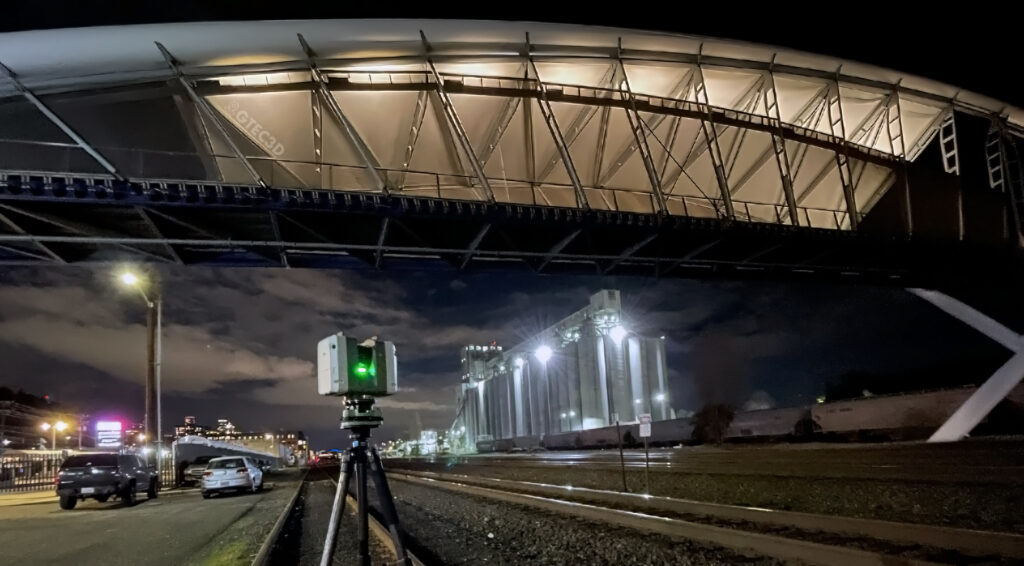
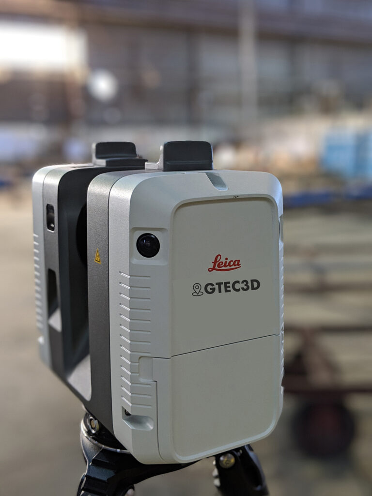
The GTEC3D Tool of Choice: Leica RTC360
To deliver this level of precision, GTEC3D utilizes the Leica RTC360, a professional-grade scanner designed for high-stakes environments. This isn’t just about taking pictures; it’s about industrial-strength data acquisition
Why the RTC360 matters for your prefab project:
- Unmatched Speed: It captures up to 2 million points per second, allowing us to document a full dome scan and high-quality HDR imagery in under two minutes.
- Visual Inertial System (VIS): This unique technology tracks the scanner’s movement in real-time as we move from room to room, automatically pre-registering the data. This means we spend less time on your site while ensuring the data is perfectly aligned.
- “Double Scan” Cleanliness: In busy construction sites, the
Leica RTC360
can perform a “Double Scan” to automatically remove “ghost” points caused by moving people or machinery, delivering a clean, usable model for your fabricators.
The "LOA Rule": Speaking the Language of Precision
To make scanning work for prefabrication, you need to understand the Level of Accuracy (LOA). Established by the U.S. Institute of Building Documentation (USIBD), the LOA framework is the industry “rule” that defines exactly how precise your data needs to be.
The GTEC3D Edge
At GTEC3D, we don’t just provide dots on a screen. We provide data-driven intelligence. By combining the raw power of the
with a deep understanding of the USIBD LOA standards, we ensure that what you build in the shop is exactly what gets installed on-site—no surprises, no rework, just precision.